Model Supplemental Data:
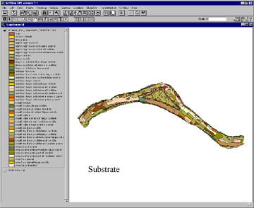
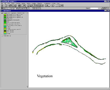
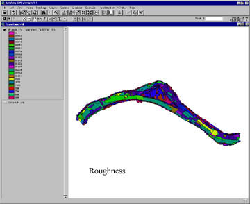
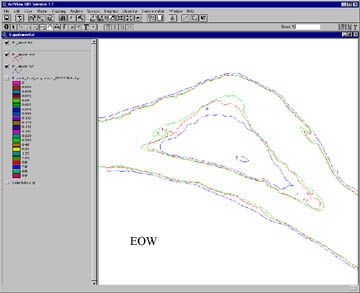
To support the hydraulic model detailed maps of vegetation and substrate are prepared in the field using aerial photographs. From these maps a channel bed roughness map is produced. These roughness values are then interpolated to the position of the nodes in the TIN. In addition measurement collected for the edge-of-water (EOW) using conventional survey instruments are converted into a digital format for use as model boundary conditions.